Bellingham Waterfront Terminology for Serious Buyers
December 4, 2025
December 4, 2025
Curious about what “waterfront” really means in Chuckanut or Edgemoor? If you have your eye on Bellingham Bay, you are smart to get clear on terms like tidelands, OHWM, and moorage before you fall in love with a view. A little vocabulary goes a long way when you are evaluating beach access, dock potential, and long-term plans. In this guide, you will learn key terms, what to look for on listings and surveys, how permits work, and the due diligence steps that help you move forward with confidence. Let’s dive in.
In Washington, tidelands are the intertidal area between high and low tide, and some permanently submerged areas waterward of that. Many of these lands are owned by the state through the Department of Natural Resources. If a property includes or abuts state-owned aquatic lands, you may need authorization to place or maintain structures that extend waterward of the shore. You can learn more on the state’s program pages for aquatic lands at the Department of Natural Resources.
Why it matters: Whether tidelands are privately owned or state-owned affects beach use rights and the ability to build or maintain structures like ramps, floats, or docks. It also affects whether you might need a DNR lease.
The Ordinary High Water Mark (OHWM) is a legal boundary that often sets where shoreline rules begin. It is determined in the field and is a common reference line for county, state, and federal reviews. You may also see Mean High Water (MHW) and Mean Lower Low Water (MLLW), which are scientific averages used to map water levels and convert elevations. For context on tidal datums and local tide information, see NOAA’s tides and currents resources.
Why it matters: If a proposed structure sits waterward of the OHWM, it often triggers additional permits and approvals.
Upland is the land above the OHWM and outside regulated shorelines. Building in uplands can still be subject to shoreline buffers or critical area rules. Littoral relates to the shore zone of a sea or lake and often refers to marine shorelines in this area. Riparian typically relates to freshwater systems. In Chuckanut, you will mostly see littoral and upland references.
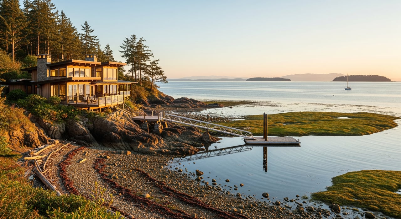
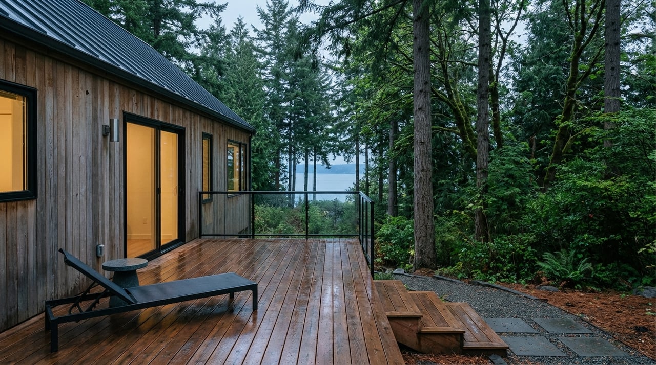
Listings may describe a bank as low, moderate, or steep. A steep bank or bluff can limit access, increase erosion risk, and change what is feasible for moorage or stabilization. Armored banks use bulkheads or riprap. Bank type and slope are important in Whatcom County reviews because they affect what treatments are allowed under the Shoreline Master Program.
A bulkhead is a vertical structure at the shoreline to reduce erosion. A revetment or riprap uses rocks or an engineered slope to absorb wave energy. New hard armoring is often discouraged because of habitat impacts. Repairs or replacements are commonly regulated and may need local and state approvals.
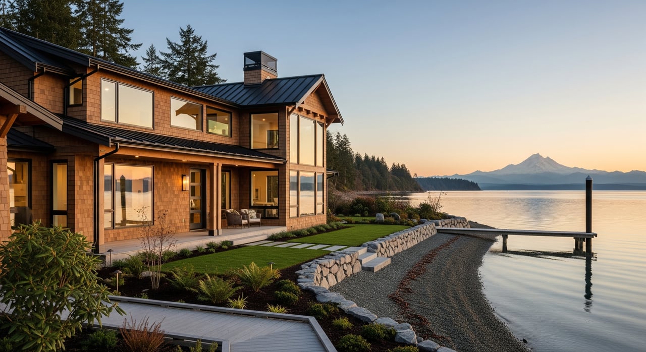
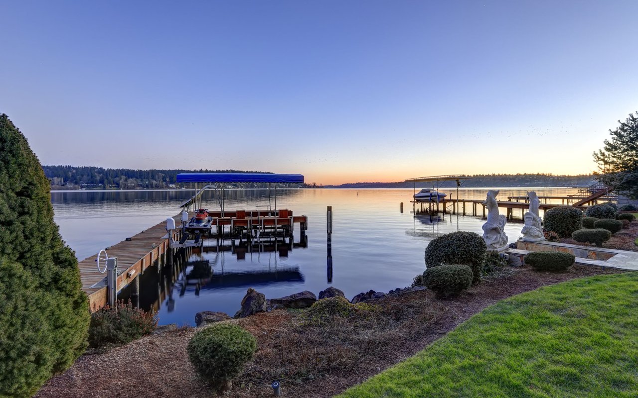
Moorage is the general term for tying up a vessel. Docks and floats extend seaward and often sit waterward of the OHWM. A slip is a defined moorage space. Even small moorage improvements can trigger reviews and approvals. When moorage spans state-owned tidelands, you may need a DNR authorization in addition to local permits.
When you see “waterfront” on a Chuckanut or Edgemoor listing, look for clues about ownership, access, and prior permits.
If records are missing or unclear, expect follow-up with county staff, DNR, and potentially a surveyor to verify lines and structure locations.
Multiple agencies can have a say in shoreline work around Bellingham Bay. The most common layers are local (county), state, tribal, and federal.
Permitting is often sequential and overlapping. Missing one step can delay your timeline, so plan to confirm all layers early.
Shorelines along Chuckanut Drive can include steep bluffs and erosion-prone banks. Those slopes can raise both regulatory scrutiny and practical maintenance questions. Sensitive habitats like eelgrass and forage fish spawning areas exist in the region and can limit the type and location of moorage or armoring.
You will also encounter state-owned tidelands in parts of Bellingham Bay. A property may “feel” like it includes the beach even when it does not. DNR mapping, the deed, and a survey are your best tools to confirm boundaries.
Because tribal harvest rights apply across local waters, work that would change habitat or access may require tribal input. Early conversations with the county and state can help you understand where tribal consultation is likely.
Use this step-by-step list to focus your review and avoid surprises.
Responsibility depends on ownership and agreements. If a structure sits partly over state-owned aquatic lands, it may be covered by a DNR lease with specific maintenance terms. For shared moorage, look for recorded easements or HOA documents that allocate costs and responsibilities.
It depends on shoreline designation, bank type, habitat, and where the footprint falls relative to the OHWM and any state-owned tidelands. Many jurisdictions favor soft-shore approaches over new hard armoring because of habitat impacts. Expect reviews by the county, WDFW, and potentially DNR and the Corps if the project extends into navigable waters.
Timelines vary. Early consultations and permit reviews can take weeks to months, and public notice periods can add time. Costs include application fees, studies (engineering or biological), and possible lease fees if structures occupy state aquatic lands. Request estimates from county staff and DNR before you commit to a scope or timeline.
Yes. Setbacks and buffers depend on the parcel’s Shoreline Master Program designation and any critical area overlays. Check the parcel’s designation and talk with county planning about buffer widths and potential mitigation options.
Waterfront purchase decisions are about more than a view. You deserve clear answers on ownership lines, permits, and long-term plans. With 23-plus years and more than 1,000 closings across Whatcom County, Michelle Harrington brings local know-how, a curated vendor network, and calm, responsive guidance to your search. If you are weighing Chuckanut or Edgemoor, let’s map out a clean due diligence path and a confident offer strategy.
Connect with Michelle Harrington to talk through your goals and next steps.
Stay up to date on the latest real estate trends.


1318 12TH ST BELLINGHAM WA 98225